Lost Creek Wilderness {November 2011}

Labels

Friday, August 19, 2011

The Countdown

Fifteen Days Until Fighting Irish Football Season . . . . . . 


Thursday, August 18, 2011

Handies Peak {14,048'}

The Basics ...


Handies Peak; San Juan Range


Date climbed: Saturday, August 13th
Elevation: 14,048'
Route: East slopes from Grizzly Gulch; elevation gain of 3,650'
RT distance & time: 8 miles; nearly 7 hours (including at least an hour spent on the summit and 30 minutes or so photographing meadow wildflowers ... we were blessed with a picture-perfect day and beautiful weather, so why rush?)


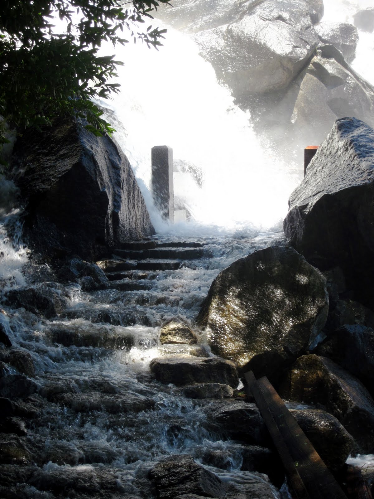
Handies from Grizzly Gulch (around 11,800')
Justin, Kona and I left the city on Friday morning en route to the lovely San Juans (a place neither of us had visited) with the intention of climbing Handies, Redcloud & Sunshine over two days. From Lake City, we drove 16 miles on County Road 30 towards Cinnamon Pass along a well-maintained dirt road that eventually hugs the south side of Sunshine Peak (with a bit of exposure) as it nears the Grizzly Gulch/Silver Creek trailhead. Comparatively, this road is quite smooth - 2WD vehicles shouldn't have much of an issue making it all the way to the TH given favorable weather. Since the area containing the parking lot is pretty open, we continued past the trailhead a half mile and chose a more secluded campsite with a stunning view of Redcloud and Sunshine. Since it was only 4:45 pm, we had plenty of time to play a game of bocce, prepare and eat chicken fajitas, enjoy a Moose Drool or two, and watch the full moon rise over Sunshine. The rain was supposed to stay away until the next evening, so we opted to forgo the rainfly.


We weren't on the Grizzly Gulch trail until 9 am the following morning ... luckily the forecast was promising and the hike relatively easy. Once we neared 11,500', we had a perfect view of our peak for the remainder of the ascent; we were also surrounded by the most incredible concentration and variety of wildflowers I have ever seen in one place! The final miles of our hike were unremarkable, but I should mention that the upper North Ridge is comprised of scree and loose rock which, because it is the steepest section of trail, makes it somewhat difficult to climb (although the descent is a bit more challenging). --- And by 'challenging', I mostly mean annoying --- The views from the summit of Handies are remarkable; despite being entirely unfamiliar with the San Juans, I could easily recognize Wetterhorn and Uncompahgre to the north as well as Mount Sneffels to the northwest.


Wetterhorn (left) and Uncompahgre
Kona on the summit of his third 14er


This was the most gorgeous hike I have ever been on .... Handies Peak was #18 for me, #15 for Justin and #3 for Kona. Grizzly Gulch is not a difficult route by any means, so we were able to enjoy ourselves while accomplishing a noteworthy feat! Unfortunately, due to stormy morning weather that persisted throughout the day, we were unable to attempt Redcloud and Sunshine on Sunday. Yet, if we had to return anywhere to check off a few peaks, it'd definitely be here! Someday :)


Thursday, August 11, 2011

Yosemite & the Sierra Nevada {Days 5 & 6}

Day Five, Tuesday June 21st: The Hetch Hetchy


Hetch Hetchy Valley
An environmental controversy throughout the early 1900s (as well as the potential indirect cause of John Muir's death), the Hetch Hetchy glacial valley in the less-traveled northwestern region of Yosemite was flooded by the O'Shaughnessy Dam through an act of Congress in 1913, thus forming the Hetch Hetchy Reservoir that now supplies water to some 2.4 million Californians west of the park. The dam marks the trailhead for the 14 mile round-trip trek to Rancheria Falls, the second of our backcountry destinations.


This area is held under strict security; the gated entrance only permits vehicle passage between 8 am and 9 pm during summer months {for this reason, we were forced to locate a campsite in the national forest subsequent to our late descent of Half Dome the evening prior}. Despite an early start, we were soon hiking in 95 degree weather ... thankfully this route passes underneath Tueeulala and powerful Wapama Falls, meaning we would be rewarded with a chilled glacial water soaking in less than 3 miles. After this, the remainder of the hike was rather uneventful (but certainly not for lack of scenery): wildflowers, tired legs, heat, and more wildflowers.


Tueeulala Falls

The 'trail' below Wapama Falls ~ a welcome respite from the heat
It is always discouraging to lose elevation when you know that you'll eventually need to gain it back; unfortunately, that's how the latter half of this hike felt to me. When we reached the designated backcountry campground, we continued on in search of a secluded site away from other campers as well as mosquitoes that tend to accumulate in the dense forest. Twenty minutes of exploration and significant bushwhacking was well worth the effort ~ we had a stunning view of Rancheria Falls! Unlike the dramatic plunge of Yosemite or Bridalveil Falls, the water that comprises Rancheria flows in a series of cascades more than 1,000 vertical feet to the Hetch Hetchy Reservoir below. This area is extremely serene and picturesque (below is our chosen campsite and the view) ...


Soon after our arrival, we assembled the tent, rearranged the fire ring, put the solar shower to good use, opened a bottle of Cabernet Sauvignon, strolled down by the water, accidentally stumbled upon a naked sunbather, and watched the sun set as rays of color dispersed through tree branches and reflected a golden light on the water's surface. While this area has an apparent reputation for aggressive bears (and, believe me, park rangers instill a very strong sense of paranoia), the bear canister containing our food was left undisturbed throughout the night and I have no bear sightings to report. The only bad news? Mosquitoes are ridiculously attracted to me; better here than malaria-riddled Africa I suppose.

Day Six, Wednesday June 22nd: Rancheria Falls to Sequoia/Kings Canyon National Park


Honestly, the return hike can easily be summarized through a couple of photos ...

Justin preparing for another intense soaking

When we reached the car in the overnight parking lot, we drove straight to the Evergreen Lodge (several miles down the road in Stanislaus National Forest just outside the Hetch Hetchy park entrance), sat down at the bar, and promptly ordered two bison burgers and two California draft beers. Though I have no idea about the accommodations, I would recommend this place based on food and beer selection alone. Feeling rejuvenated, we set out on the four hour drive that would take us through the Central Valley ~ where most of our fruit & veggies come from ~ and Fresno to Sequoia and Kings Canyon National Park (stopping briefly at both Washburn and Glacier Point, where the overviews of Yosemite Valley are unbeatable).

Half Dome, Vernal and Nevada Falls from Glacier Point