
 |
| Gore Range panoramic from the ridge - one hell of a view! |
Distance: 2.5 miles one-way from the TH to the ridge in the above photo (5 miles round-trip). The climb to this point was enough for Justin and I {we'd both donated blood two days prior and absolutely noticed the absence of some red blood cells during this hike}. I believe that it is about 4 miles one-way from the TH to the pass below Ute Peak (8 miles round-trip), with the final half-mile being quite steep. I find this to be quite unnecessary, since you'll already have the pretty view you're looking for :)
Date Hiked: April 5th, 2012
Dogs Allowed? Yes, but a leash is required upon entering into Ptarmigan Peak Wilderness
The Acorn Creek trailhead is located on the edge of an expansive sagebrush meadow that is typically covered in lupine come late-June. Just a few eastward strides into the hike, we came across an aspen thicket containing more than a few downed trees (a theme that would soon become annoying, at best). The trail crosses Acorn Creek less than a half mile from the trailhead and meanders in and out of pine forests, which are often broken up by sagebrush meadows. Since the trail climbs towards Ute Peak to the east, do be mindful of turning around and catching progressively more impressive Gore Range views to the west!
 |
| A southwest view from the trailhead |


 |
| Looking back on one of many sagebrush meadows & the Gore Range to the west |
While this hike is only moderate in difficulty, it does require a reasonable level of fitness to gain 1,600 feet of elevation over 2.5 miles ... I don't recall any flat segments. At 1.8 miles, we entered Ptarmigan Peak Wilderness and, shortly after, passed by a wooden sign with an arrow pointing up towards the right. From here, we encountered a steep section of trail that eventually leads to the grass-covered ridge (our destination) with a dynamite view of the Gore Range. Looking north, we could even see Williams Fork Reservoir alongside Highway 9 in the distance.


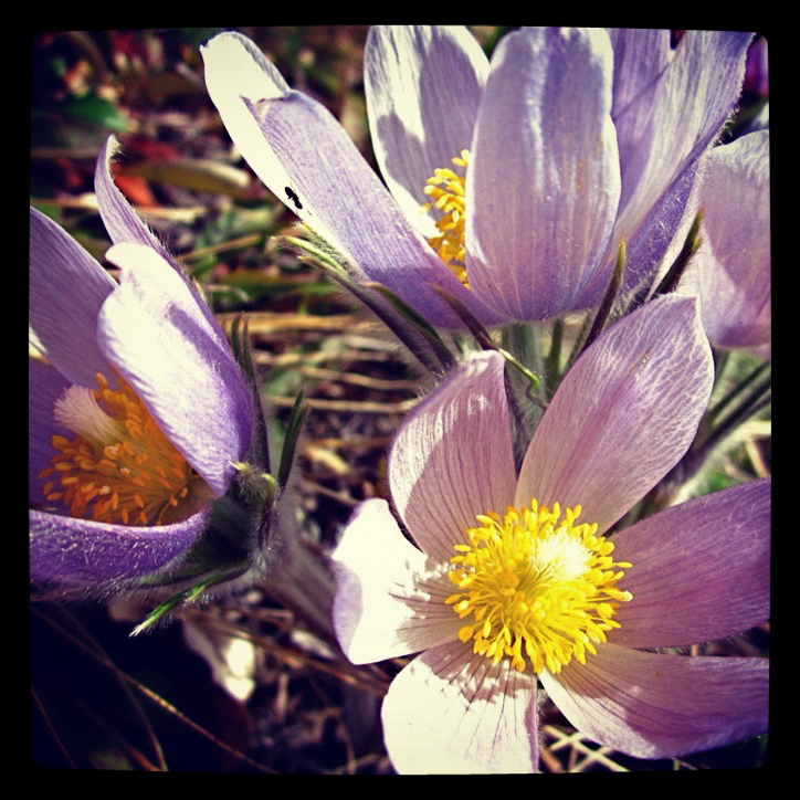 |
| Pasque flowers |
 |
| Justin on the pre-ridge steep section of trail |
If you are in need of a relatively quick & easy day-hike in the Silverthorne area, I'd highly recommend Acorn Creek. Though early May is an exciting time to hit the trail, I would wait until late June/early July for this one. Not only will there be a greater array of wildflowers, but you will likely see a larger green to brown ratio. However, no matter when you hike Acorn Creek, you are guaranteed to be rewarded with an incredible view throughout! Be sure to stop at the Dillon Dam brewery on your way home; there's nothing like a cold brew post-hike :)
** When we hiked Acorn Creek, it was necessary to bypass many fallen trees. Unfortunately, this seems to be a common occurance in our mountains this season - be careful and keep on the lookout for those pesky juniper bushes (but, try the berries for a wonderful burst of gin-flavored goodness!) **
